An Integrated Platform for the Digital Documentation of Geospatial Cultural Heritage
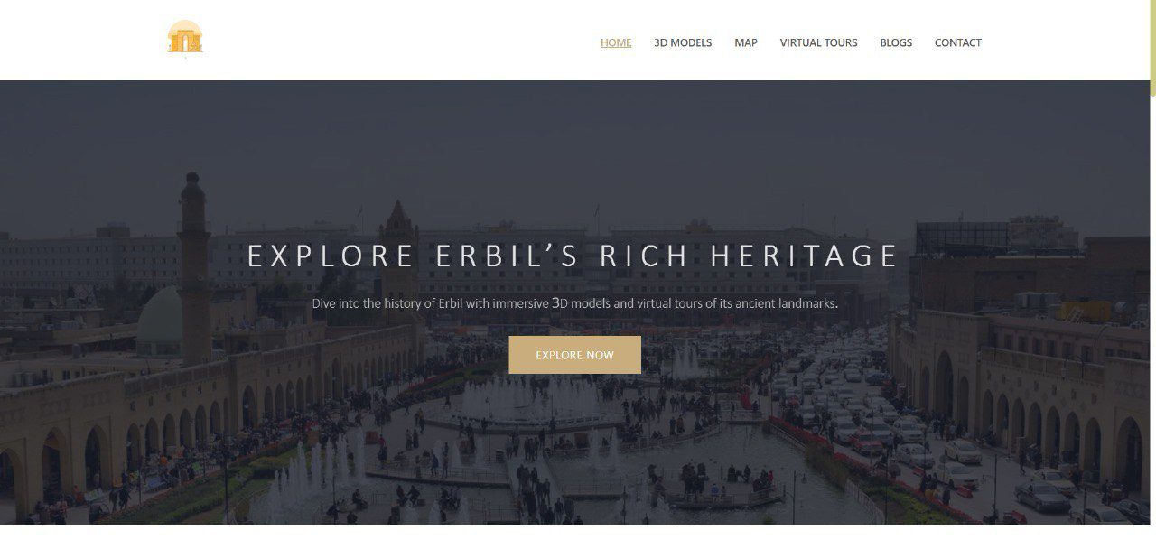
On June 25, 2025, the Computer Engineering department at Tishk International University (TIU) proudly announced the successful completion of an undergraduate thesis project: an integrated platform for the digital documentation of geospatial cultural heritage in the Erbil governorate. This innovative system was designed to centralize and preserve 3D models of artifacts and historical sites, connecting each model to its real-world location through an accessible and interactive web experience.
The project’s primary goal was to create a platform that serves both researchers and the public, bridging the gap between technical preservation and public engagement.

Platform Architecture and Key Features
The system is built on a modern web stack designed for scalability and robust content management. The backend, powered by Laravel, handles data management and user authentication with role-based access. The frontend, developed with React, provides a responsive and intuitive user interface. Crucially, Three.js is integrated to render and allow interaction with the 3D models directly in the browser, offering a seamless and immersive experience.
The platform’s features are focused on both exploration and education:
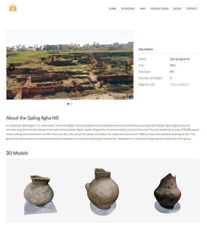
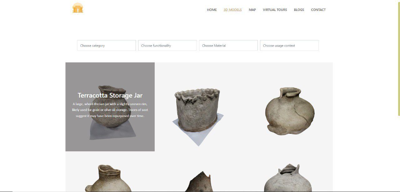
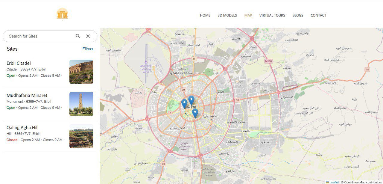
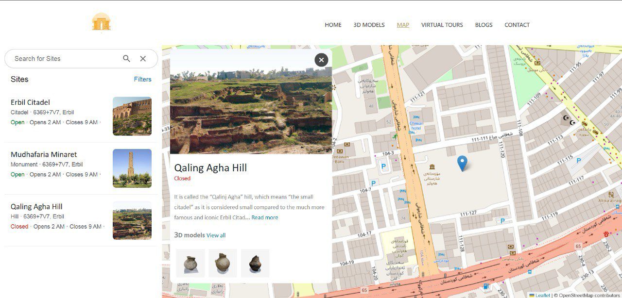
- Geospatial Map: An interactive map, similar to a specialized “Google Maps” for cultural heritage, allows users to navigate the Erbil governorate and discover artifacts and sites by location, category, or thematic tags.
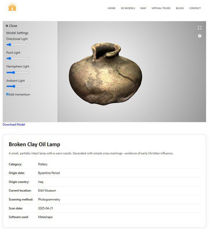
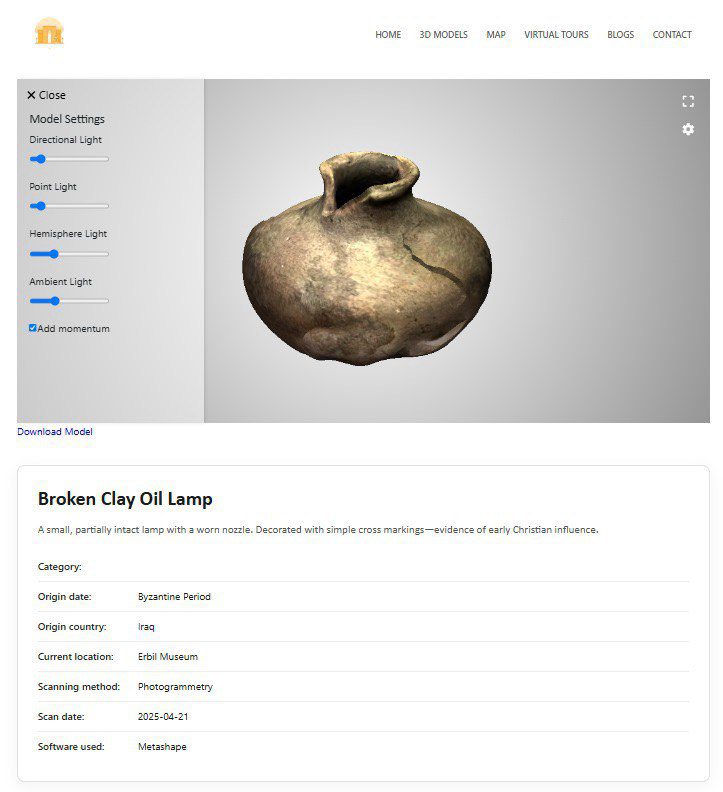
- 3D Model Viewers: Each artifact has a dedicated page with a full 3D viewer, offering adjustable lighting and camera controls. This provides a detailed look at the objects from every angle.
- Rich Metadata: Each entry includes detailed metadata, such as its provenance, date, condition notes, and the parameters used for 3D scanning.
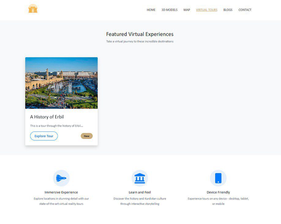
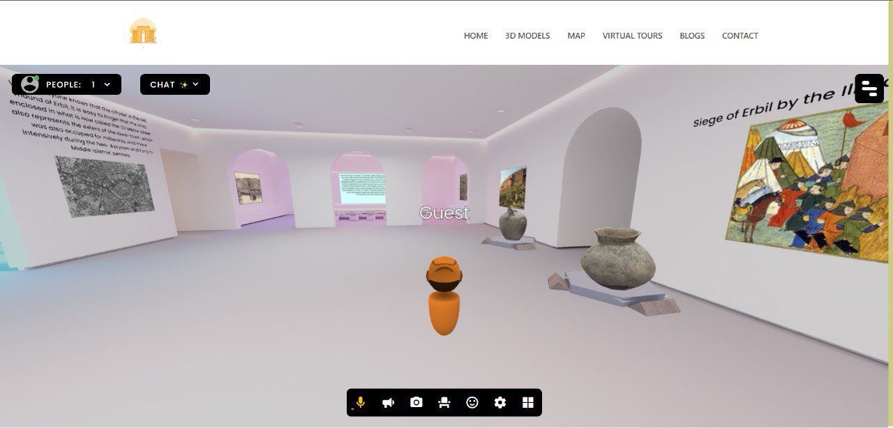
- Curated Virtual Tours: The platform features guided tours that connect a series of linked sites or collections, providing a structured narrative for visitors to follow.
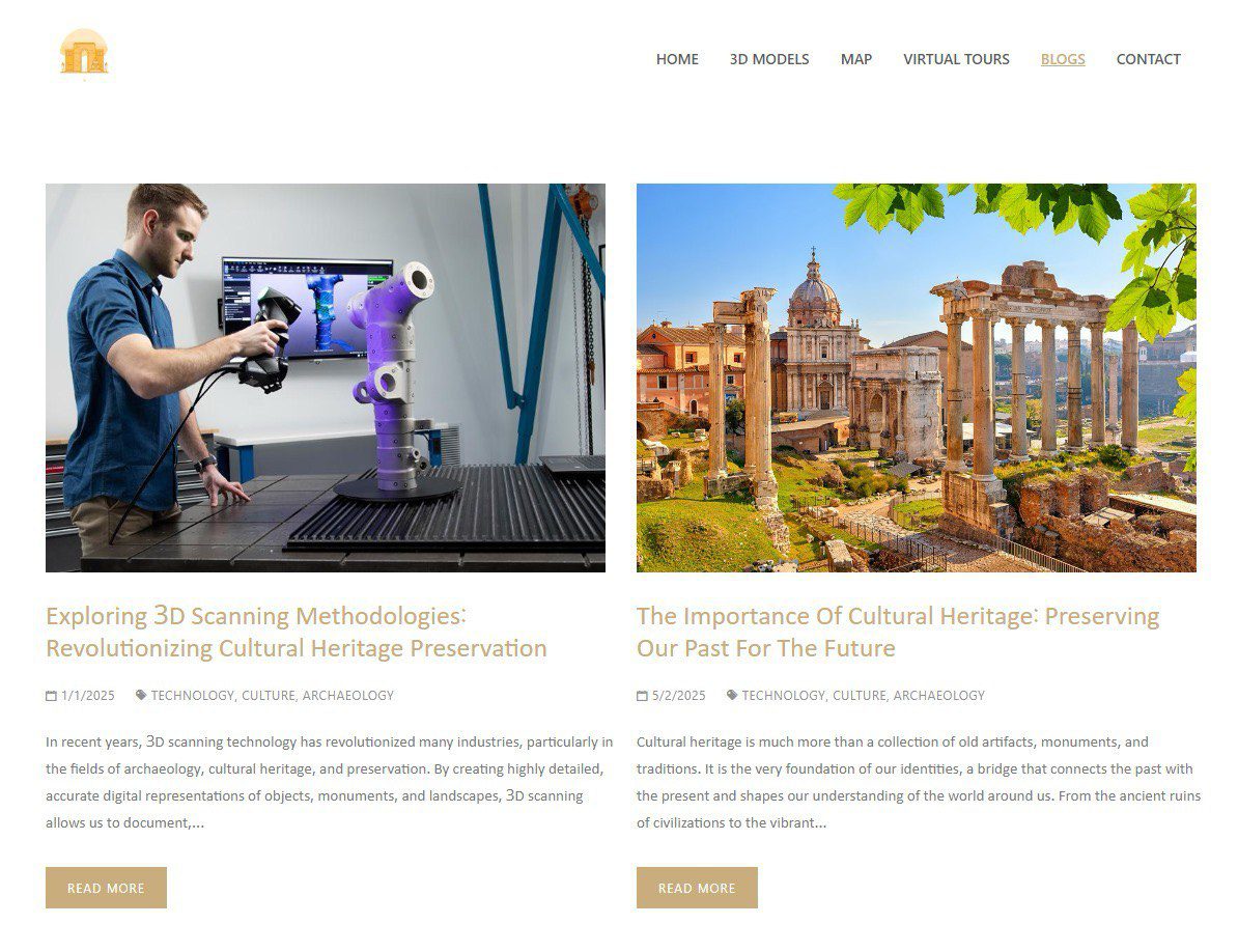
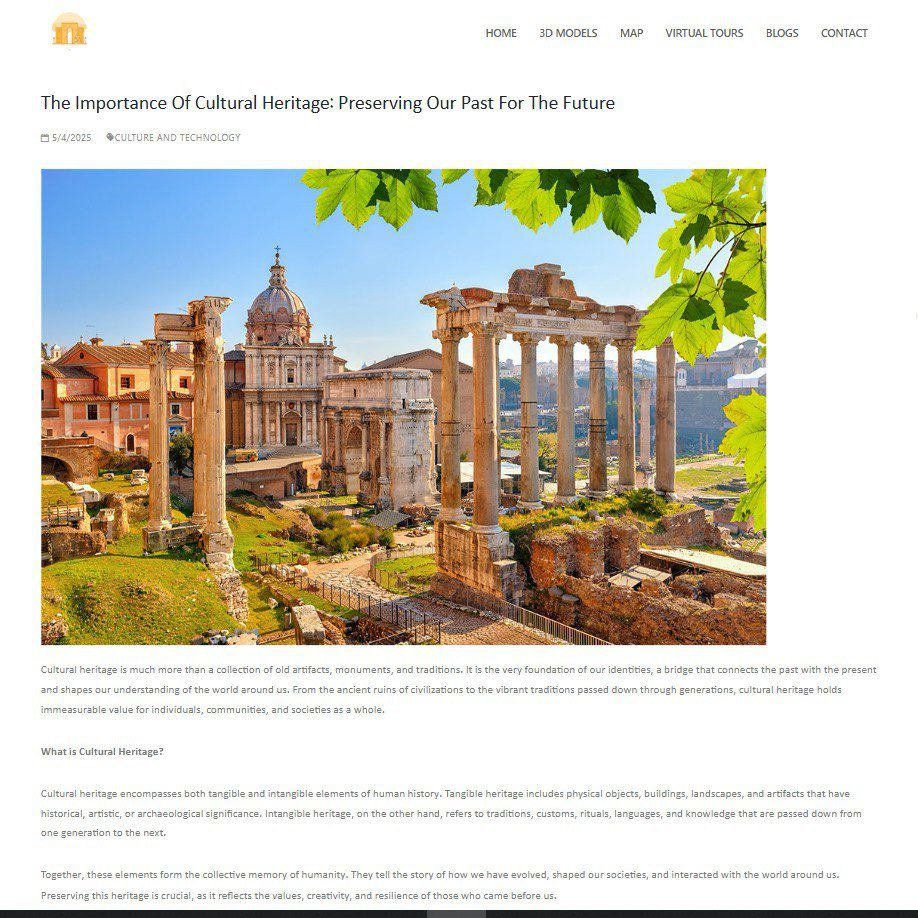
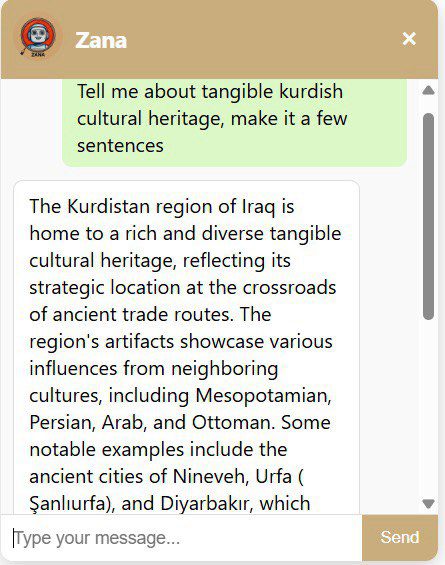
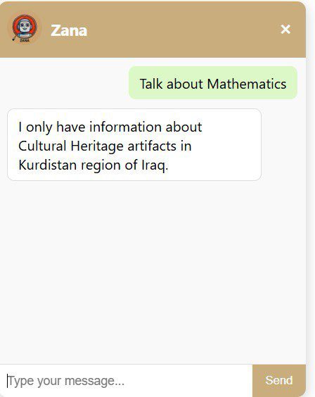
- Informative Blog: A dedicated blog covers cultural heritage topics and explains 3D-scanning methods, making the technical aspects of the project accessible to a wider audience.
Validation and Future Outlook
To validate the platform, preliminary 3D reconstructions of selected artifacts were created using photogrammetry and uploaded to the system. This process helped the team address practical challenges like handling large file sizes, balancing visual quality with browser performance, and accurately linking models to precise geospatial coordinates.
Beyond the technical build, the project’s success lies in its mission to increase engagement with Kurdish cultural heritage. By combining interactive 3D experiences with educational content, the platform makes local history discoverable to students, researchers, and the general public. The work was presented at prestigious events like the National Innovation Competition in Engineering (NICE), and the COPIT and NAYREC conferences, demonstrating its academic significance and potential impact.
The platform was designed with future growth in mind. Potential next steps include incorporating intangible cultural heritage, enhancing the rendering of complex models, and expanding coverage beyond the Erbil governorate. This project stands as a sustainable foundation for cultural stewardship and practical engineering, helping to protect and share our shared past for generations to come.
Keywords: Digital Cultural Heritage, Geospatial Documentation, 3D Modeling, Computer Engineering, Tishk International University, Erbil, React, Laravel, Three.js, Digital Preservation, Innovation, Cultural Stewardship.


YouTube